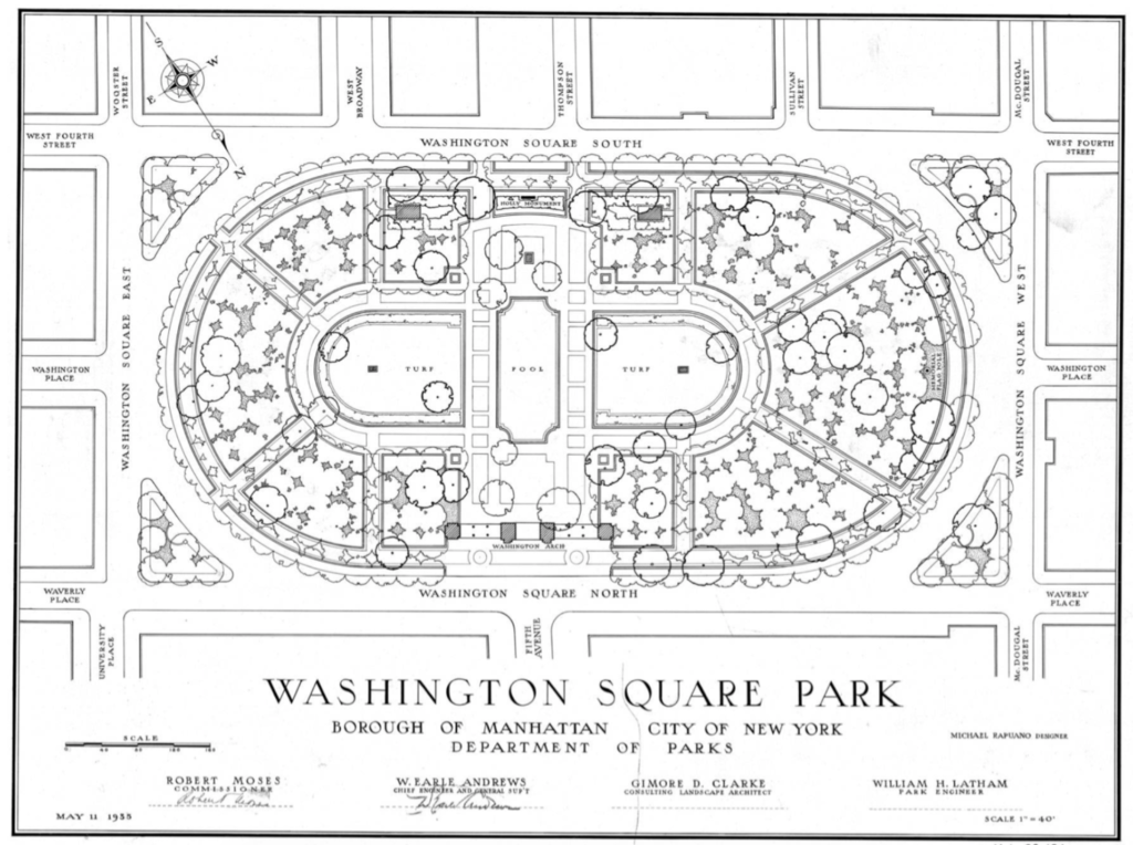
This week I begun my preliminary research to dive deeper into the history of New York City, and the way the subway path connects it all. As a general overview, my fabric will be New York City but more specifically the area surrounding Washington Square Park.
My three locations will be:
- W 4th Street and Washington Square Park (F) Subway station // Underground
- One Fifth Ave apartments
- The intersection of Waverly Place and Fifth Ave that collides with Washington Square Park // 10 acres
While doing research I also followed the time pattern that is associated with the influx of traffic in the subway terminal. There is a heightened period of time in the morning and late afternoon that traffic is dense, which most likely correlates to the work commute.
I found in my research that the park can create conflict between the homeless population, and the permanent residents of NYC. Due to its proximity to the subway station, that is largely occupied by the homeless when not used for the commute, many people use it as a free location to congregate, while in addition the residents of luxury apartment building do the same. This is a pattern that I was to learn more about and dive deeper into the correlation.

